Virtual tour, you can move through the image with the mouse.
Mürmes The Maar of the Electors
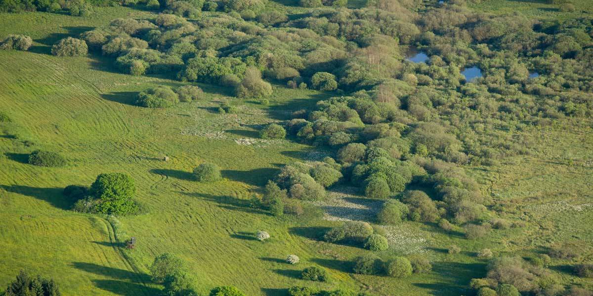
Mürmes is located in the nature reserve of the same name and is an oval fen with four meter thick layers of peat. Rare plants with evocative names grow on its surface, such as the narrow-leaved cotton grass, the round-leaved sundew, the hairy water fennel, the ivy-leaved buttercup and the spotted orchid.
Info & Audio
- Coordinates: 50°09´15´´N / 06°53´32´´E
- Altitude: 407 m
- Maar diameter: approx. 150 m (SE part of the fen, 50%)
- Funnel depth: 45 m
- Oval shape of the fen: NW-SE 620 m; NE-SW 280 m
-
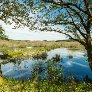
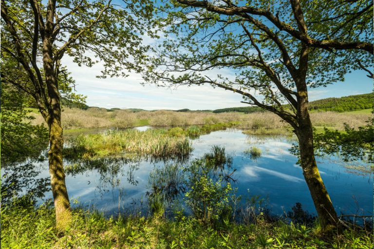
Vulcano-Pfad am Naturschutzgebiet Mürmes © Eifel Tourismus GmbH, Dominik Ketz
-

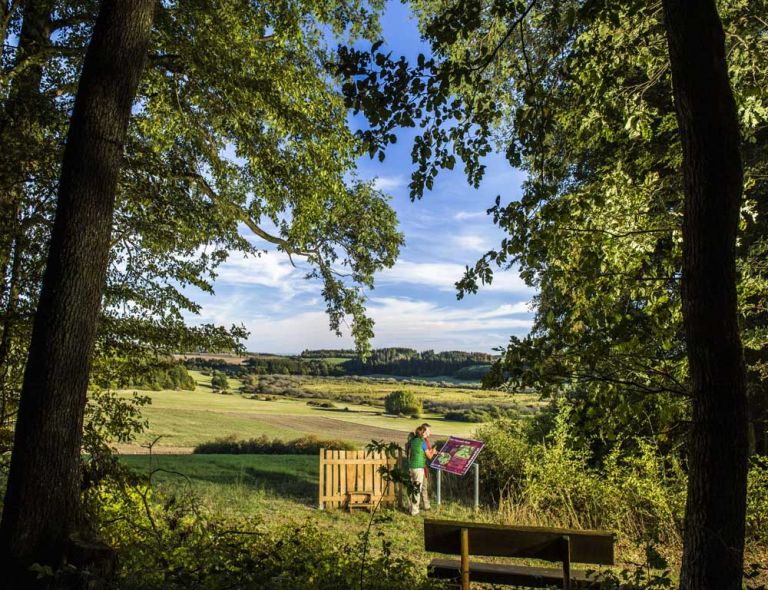
Muße-Platz mit Blick auf den Mürmes © Natur- und Geopark Vulkaneifel GmbH, Kappest
Geology
The maar forms the SE of the moor area and has a radius of 150 meters. The NW part is called Mürbesweyer or Mittelweiher. Smaller tephra deposits can be found in the SW and NE, the main eruption occurred in the NW/highway direction and can be detected there. The Maart funnel lies largely in the Lower Devonian, gray-green sandstones and siltstones - partly quartzite - of the Reudelsterz layers, surrounded by the gray siltstones, quartzitic sandstones and shales of the Eckfeld layers.
Special features
With the nearby Sangweiher and the Jungferweiher, it is an important resting place for bird life. Around 1400, the Electors of Trier created three fish ponds in this area, with the Mürmes Maar being used as the highest pond. In the period from 1800 to 1950, the local population was able to dig peat because the dam was destroyed and the water was draining away. The 43 hectare nature reserve has been protected since 1978. 22 hectares belong to NABU Daun, the Vulkaneifel district owns 21 hectares. Since then, the moor has been re-wetted in a controlled manner by a new outflow barrier and thus renatured.
Location
Highlights nearby
- Sangweiher
- Schalkenmehrener Maar
- Schalkenmehren Natural Outdoor Swimming Pool
- Home Weaving Museum
- Hoher List Observatory
- Pulvermaar
- Pundermaar Natural Outdoor Swimming Pool
- Brockscheid Bell Foundry
- Demerather Drees
- Juniper Area Demerath
Hiking trails
around the Mürmes
There are many ways to explore the Mürmes nature reserve on foot. The region has a variety of routes, informative hikes and a panoramic circular hiking trail to offer.
-

HeimatSpuren Antoniusweg
Rundweg westlich von Ellscheid vorbei am Mürmes - ein Moorgebiet mit seltenen Tier- und Pflanzenarten
- Schwierigkeitsgrad:

- Strecke: 12 km -
- Dauer: 3 Std.
- Aufstieg: 186 hm -
- Abstieg: 186 hm
- Schwierigkeitsgrad:
-

Muße-Pfad Vulcano-Pfad
Rundtour östlich von Schalkenmehren
Blicke über den Gartenzaun ins Land der Maare und Määrchen. Verliere dich nicht im Detail, nimm Abstand, blicke über den Gartenzaun und sieh das Ganze!
- Schwierigkeitsgrad:

- Strecke: 26,2 km -
- Dauer: 16:42 Std.
- Aufstieg: 652 hm -
- Abstieg: 652 hm
- Schwierigkeitsgrad:
Guided tours around the Maar
Directions & Parking