
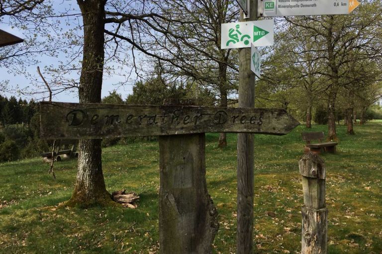
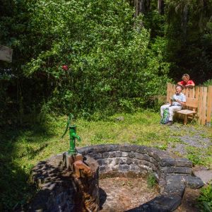
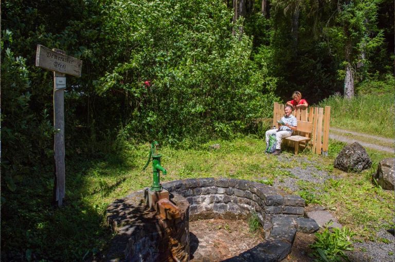
Demerather Drees Spring in the middle of the forest
The Demerather Drees is in close proximity to the Geisert nature reserve, one of two juniper nature reserves in the area. The Sauerling lies in the middle of the forest. With a handle pump placed on the fountain socket you can help yourself to the refreshing water
Info
- Coordinates: 50°10.033’N, 006°56.012’E
- Municipality/Location: Demerath
- Altitude: 405 m above sea level
- Water type: Sodium-magnesium-calcium-bicarbonate acid containing fluoride
- Water temp.: 8.2 °C
-
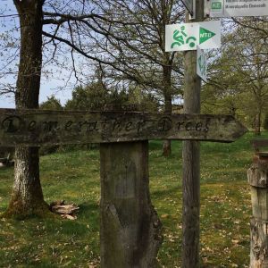
Demerather Drees Demerather Drees © Natur- und Geopark Vulkaneifel GmbH, Kappest
-
Demerather Drees Demerather Drees © Natur- und Geopark Vulkaneifel GmbH, Kappest
Mineral, carbonated and iron-rich water flows in the Demerather Drees. Unfortunately, it does not have drinking water quality. The place in the forest where the fountain is located is a leisure spot on the Vulcano Trail. Therefore it is perfect for pausing and resting. Refresh yourself and let your inner gaze wander into the land of maars and volcanoes. A richly illustrated blackboard tells you the history of the Drees.
Hiking trails
A walk on the leisure path, a hike on the Celtic circular path - a foray through the forest. Enjoy nature on one of the region's wonderful hiking trails.
-

Muße-Pfad Vulcano-Pfad
Rundtour östlich von Schalkenmehren
Blicke über den Gartenzaun ins Land der Maare und Määrchen. Verliere dich nicht im Detail, nimm Abstand, blicke über den Gartenzaun und sieh das Ganze!
- Schwierigkeitsgrad:

- Strecke: 26,2 km -
- Dauer: 16:42 Std.
- Aufstieg: 652 hm -
- Abstieg: 652 hm
- Schwierigkeitsgrad:
-

HeimatSpuren Keltenrundweg
Rundweg östlich von Steineberg, über den Demerather Drees
- Schwierigkeitsgrad:

- Strecke: 15,3 km -
- Dauer: 4 Std.
- Aufstieg: 233 hm -
- Abstieg: 233 hm
- Schwierigkeitsgrad:
Guided tours
Directions
A1 exit Mehren, B421 towards Strotzbüsch, left onto the L66, towards Steineberg, change onto the K21 to Demerath, in the town turn right onto Brunnenstraße to the edge of the forest, park the vehicle. From here follow the signs downhill.