Virtual tour, you can move through the image with the mouse.
Immerather MaarThe flattest of all Eifel maars
A maar lake without an inflow - the water is replenished exclusively by precipitation, surface and groundwater. In the diverse and extremely fertile habitat, rich plants thrive and numerous animals find a safe retreat.
Sloes and gorse bushes grow on the eastern slope of the maar. Below lies the water-filled semicircle of the originally circular lake. In order to gain land, the marsh was drained in the 18th century. The drainage ditch later fell into disrepair, allowing the water to build up again. The result is the shallowest of all Eifel maars with a maximum water depth of 2.90 meters and an average depth of only around 1.50 meters.
Info & Audio
- Coordinates: 50°07´23´´N/06°57´29´´E
- Altitude: 371 m
- Maar age: approx. 40,000 to 70,000 years
- Today's funnel diameter in the N-S direction: 396 m
- Today's funnel diameter in the NW-SE direction: 409 m
- Semicircular lake: 206 m radius
- Lake depth: approx. 1.50 m / maximum: 2.90 m
- Lake surface: approx. 60,000 m2.
-
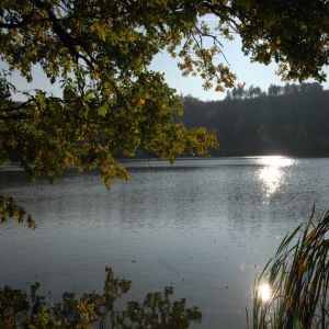
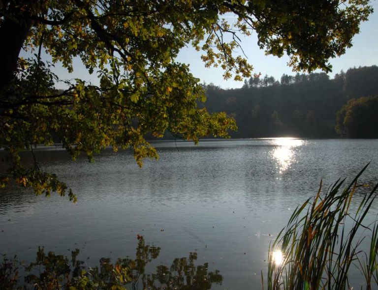
Blick auf das Immerather Maar © Natur- und Geopark Vulkaneifel GmbH
-
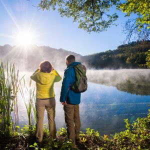
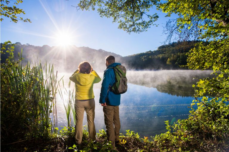
Dunst am Immerather Maar © Natur- und Geopark Vulkaneifel GmbH, Kappest
Geology
The maar has exploded into the so-called banded slate sequence. This is a transitional layer between the Lower Devonian Siegen and Lower Ems stages. It comes approximately from the northeast via Büchel and ends here in the Strohn - Immerath area, whereby the surface is overlaid by Maartuffen. The Maart funnel was created in a side valley of the Üßbach and was originally at the level of the upper edge of the Devonian 600 x 700 meters in size and 60 meters deep.
The green volcano
Today you can experience here on 66 hectares that volcanoes are not just about lava. With its walls, slopes, banks and bodies of water, the maar offers a variety of habitats for valuable flora and fauna. The banks, moors and meadows form valuable retreat spaces. There are willows and dog roses in the bankside bushes, and in the moist reedbeds, cattails and pond horsetail are increasingly taking over the original lake bed. Rare birds, frogs, dragonflies and butterflies have also found a home in the green volcano.
Location
The Immerather Maar lies between Immerath and Strotzbüsch.
Highlights nearby
- Volcano House Strohn
- Pulvermaar
- School Museum Immerath
- Strohner Määrchen
- Strotzbüscher Source
- Roman Grave
- Trautzberger Maar
- Lavabombe Strohn
- Holzmaar
- Dürres Maar
- Hetsche Maar
- Sangweiher
- Wollmerather Kopp
- Eifel View Achterhöhe
The Immerather Maar is point 21 of the German Volcano Road..
Hiking trails
around the Immerather Maar
Find a selection of walks and hikes around Immerath and the Immerather Maar here. Our recommendation: A three-kilometer-long circular route shows you the green sides of the volcano.
-

HeimatSpuren Wendelinusweg
Rundweg um Immerath, rund um das Immerather Maar und durch das Ueßbachtal
- Schwierigkeitsgrad:

- Strecke: 11,6 km -
- Dauer: 3,5 Std.
- Aufstieg: 279 hm -
- Abstieg: 279 hm
- Schwierigkeitsgrad:
-

HeimatSpuren Mühlenweg Strotzbüsch
Rundweg um Strotzbüsch und Mückeln, über die Strotzbüscher Mühle, das Immerather Maar, die Schutzalf und die Oberscheidweiler Mühle
- Schwierigkeitsgrad:

- Strecke: 22,1 km -
- Dauer: 6,5 Std.
- Aufstieg: 385 hm -
- Abstieg: 385 hm
- Schwierigkeitsgrad:
-

Andere Vulkaneifelpfade Maare-Pfad
Von Schalkenmehren bis Lutzerath
- Schwierigkeitsgrad:

- Strecke: 34,7 km -
- Dauer: 12 Std.
- Aufstieg: 657 hm -
- Abstieg: 672 hm
- Schwierigkeitsgrad:
Guided tours around the Maar
Directions & Parking