Strotzbüscher SourceWarm mineral water
The Strozbüscher Source in the West Eifel-Mosel Valley area is a warm mineral water spring. When the water emerges from this spring in the Ueßbachtal, its temperature is between 15 and almost 20 degrees Celsius.
Info
- Coordinates: 50°04.972’ N, 7°01.592’E
- Municipality/location: Strotzbüsch
- Altitude: 270 m above sea level
- Water type: sodium hydrogen carbonate chloride acid
- Water temp.: 19.2 °C
-
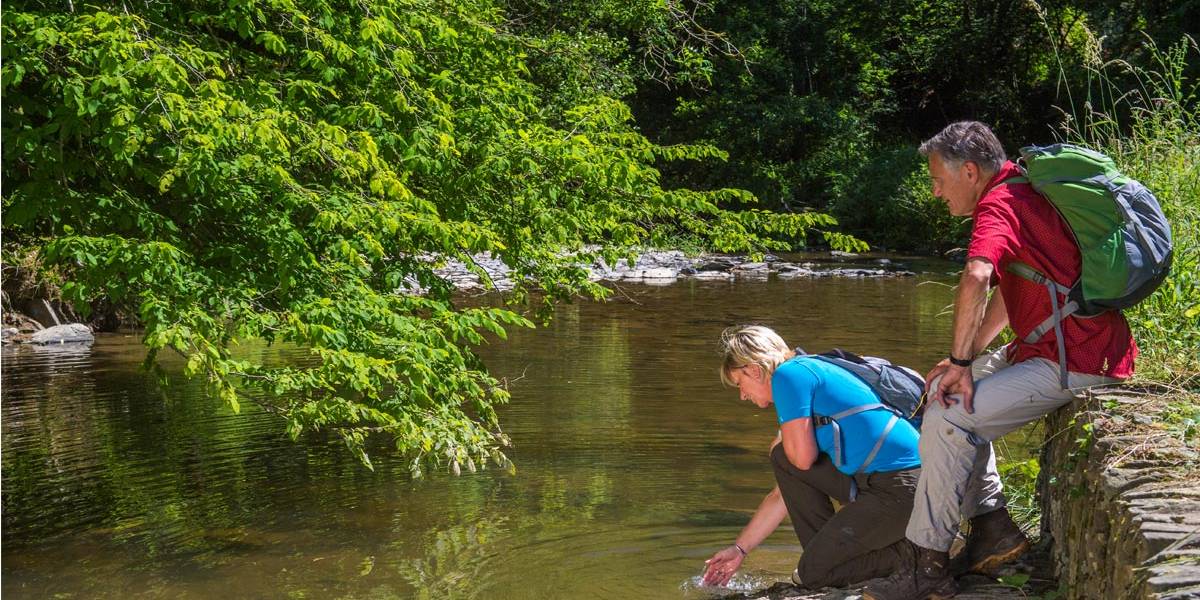
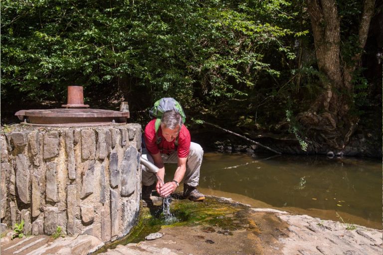
Strotzbüscher Bach © Natur- und Geopark Vulkaneifel GmbH, Kappest
-
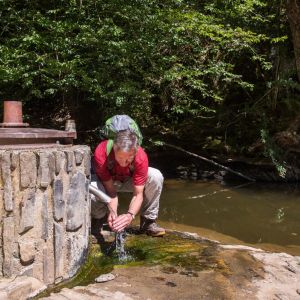
Strotzbüscher Quelle © Natur- und Geopark Vulkaneifel GmbH, Kappest
In 1938, the spring was captured three to four meters below the water level of the Ueßbach with a steel bell and the mineral water was transported to the surface via a riser pipe. It was later decided to re-drill the Strotzbüscher source by drilling a hole 6.20 meters deep. The spring is still classified as acidic, but according to its composition it is called sodium bicarbonate chloride water. With 4,030 milligrams of dissolved minerals per liter, the water is more mineralized than the healing water of the Bad Bertrich thermal spring. The overflow of the spring basin is fed into the Ueßbach flowing past.
Highlights nearby
Hiking trails
If you are afraid of the climb to Strotzbüscher Source or have already completed it, you will find other worthwhile hiking routes around this Drees.
-

HeimatSpuren Mühlenweg Strotzbüsch
Rundweg um Strotzbüsch und Mückeln, über die Strotzbüscher Mühle, das Immerather Maar, die Schutzalf und die Oberscheidweiler Mühle
- Schwierigkeitsgrad:

- Strecke: 22,1 km -
- Dauer: 6,5 Std.
- Aufstieg: 385 hm -
- Abstieg: 385 hm
- Schwierigkeitsgrad:
-

Andere Vulkaneifelpfade Maare-Pfad
Von Schalkenmehren bis Lutzerath
- Schwierigkeitsgrad:

- Strecke: 34,7 km -
- Dauer: 12 Std.
- Aufstieg: 657 hm -
- Abstieg: 672 hm
- Schwierigkeitsgrad:
Guided tours
Directions
Across the B421, in Strotzbüsch take the L52 towards Lutzerath, in Siebenbachtal turn towards Strotzbüscher Mühle and park your car in the hiking car park on the left. Opposite the refuge, a via ferrata leads down to the source.