Schulldrees Nomen est omen
Schulldrees used to be directly opposite the Neichen elementary school. For people in town, this Drees was always just the school Drees. This name has remained with Neichen Drees to this day.
Info
- Coordinates: 50°15.668’N, 6°52.060’E
- Municipality/location: Neichen
- Altitude: 482 m above sea level
- Water type: Calcium-Magnesium-Bicarbonate-Säuerling
- Water temp.: 13.7 °C
-
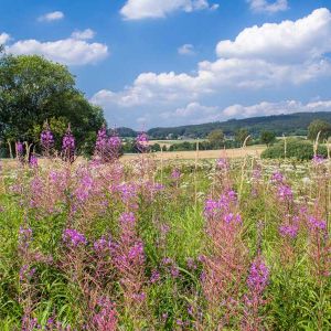
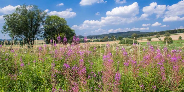
Umgebung des Schulldrees © Natur- und Geopark Vulkaneifel GmbH, Kappest
-
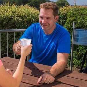
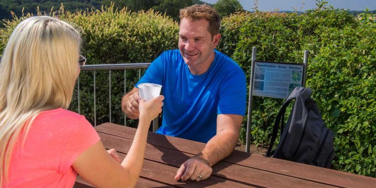
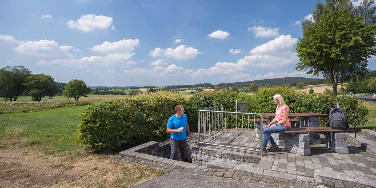
Besucher am Schulldrees © Natur- und Geopark Vulkaneifel GmbH, Kappest
In 1960, the source of the Neichen Drees was opened up with a 110 meter deep borehole in order to increase the fill. Today 1.2 liters flow out of the pipe per minute. After the required drinking water quality could not be achieved, the area was fenced off.
It wasn't until 1979 that the fountain was opened to the public again. It has been redesigned and attractively decorated. Today, a table with two benches invites you to take a break at the spring or to linger there for a short moment and enjoy the view.
Highlights nearby
- Observation Tower "Eifel-Guck"
- Eifel View Hochkelberg
- Dockweiler Drees
- Kelberg Outdoor Swimming Pool
- Afelskreuz Katzwinkel
- Eifel View Gefell
- Eifel View Herrenseifen
- Bodenbacher Drees
- Mosbrucher Weiher
Hiking trails
Hike the Lieserpfad or choose one of the other numerous paths to get to know this area of the Eifel on foot.
-

HeimatSpuren Struthrundweg
Rundweg über die Struthgemeinden Neichen, Beinhausen, das Afelskreuz, Sarmersbach, Nerdlen und Kradenbach
- Schwierigkeitsgrad:

- Strecke: 15,5 km -
- Dauer: 4 Std.
- Aufstieg: 232 hm -
- Abstieg: 233 hm
- Schwierigkeitsgrad:
-

Entlang von Lieser, Endert und Salm Lieserpfad Etappe 1 Boxberg - Daun
Einen leichten Einstieg in den Lieserpfad bietet die Etappe von der Quelle in Boxberg bis zur Kurstadt Daun. Die Schönheit des Weges zeigt sich bereits auf diesem ersten Teilstück.
- Schwierigkeitsgrad:
- Strecke: 15,4 km -
- Dauer: 4:10 Std.
- Aufstieg: 138 hm -
- Abstieg: 276 hm
- Schwierigkeitsgrad:
Guided tours
Directions
A1 exit Gerolstein, drive towards Neichen, the Drees is on the road at the western exit of the town.