Virtual tour, you can move through the image with the mouse.
Mosbrucher Weiher A maar with an ancient moor
The Mosbrucher Weiher is the third largest maar in the West Eifel and a partially moored dry maar. Protected since 1939, it now makes a valuable contribution to species and climate protection.
While initially it was just landscape protection, the maar has been protected since 1980. The protection of moorland areas such as the Mosbrucher Weiher is indispensable not only for reasons of species protection. Intact moors do a lot for the climate. Compared to forest areas, four times the amount of CO2 can be stored in the long term.
Info & Audio
- Coordinates: 50° 15´ 41´´N / 06° 57´ 05´´E
- Elevation / middle of the funnel: 493 m above sea level. NN
- Funnel diameter in NS direction: approx. 1,100 m
- Funnel diameter in WE direction: approx. 1,150 m
- Moor diameter: approx. 460 m
- Funnel Age: Quaternary
-
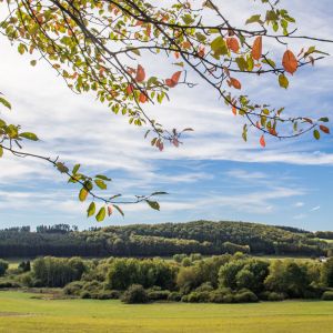
Blick auf den Mosbrucher Weiher © Natur- und Geopark Vulkaneifel GmbH, Kappest
-
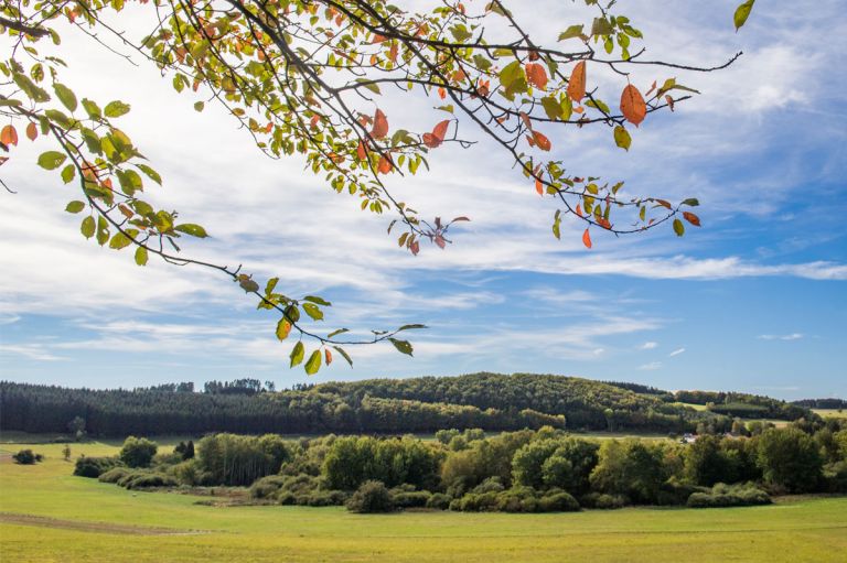
Blick auf den Mosbrucher Weiher © Natur- und Geopark Vulkaneifel GmbH, Kappest
Geology
The maar has blasted its way into the Lower Devonian, unstructured elm step with sandstones, siltstones and shales.
Special features
North of the maar lies the tertiary, 675 m high Hochkelberg volcano. The location of the Mosbrucher Weiher at this point makes the difference between a negative landscape form (maar) and a positive one (volcano) clearly visible. In the middle of this almost round funnel lies the remains of a sedge bog. The Mosbrucher Weiher has a long and eventful history:
Around 1800 an artificially dammed pond on a Tranchot map took up half of the moor area, which has probably covered the entire bottom of the funnel since Roman times. In 1838 the lake was drained and the western part of the funnel was used as farmland. Peat was cut in the moor itself, especially during World War II. According to the botanist Herbert Straka, the peat layer is around 6 meters thick. In 1939 the moor area was placed under landscape protection. In 1980 the area was placed under nature conservation. As part of the EU Life project “Moors in Hunsrück and Eifel” (2011 to 2015) this moor is also being renatured into a maar, which means that the drainage ditches have been closed and bushes and shrubs have been removed.< /p>
Extensive management of the adjacent open areas continues to create the basis for the reintroduction of plants and animals typical of bogs. Currently, in the tree-free core area of the moor, in addition to smaller areas of swinging lawns, there are meadows of whistling grass, sedge, bushes of black willow and gray willow forests.
Location
The Mosbrucher Weiher is located at the foot of the Hochkelberg and directly on the eastern border of the village of Mosbruch.
Highlights nearby
- Observation Tower "Eifel-Guck"
- Eifel View Hochkelberg
- Schwarzenberg Chapel Kelberg
- Kelberg Outdoor Swimming Pool
- Afelskreuz Katzwinkel
- Eifel View Gefell
- Nostalgikum Uersfeld
- Eifel View HerrenseifenEifel-Blick men's soaps
The Mosbrucher Weiher is point 17 of the German Volcano Road.
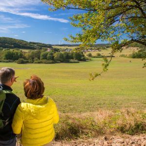
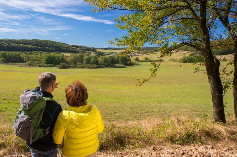
Hiking trails
around the Mosbrucher Weiher
Forest and field paths lead hikers around the pond and through this remarkable area. There are easy routes, but there are also routes that require a little bit of fitness.
Guided tours around the Mosbrucher Weiher
Directions & Parking