
Grassland is typical for the Vulkaneifel. Around two-thirds of the agriculturally used areas consist of meadows and pastures. This is not just about species-poor “uniform greenery” with intensive use and manure fertilization, but also extensive meadows with hay production.
In many communities there is still traditional livestock farming with a focus on dairy cows. But numerous suckler cows, sheep, goats and horses also ensure the utilization of the offspring. These grazing animals led to the creation of these centuries-old “cultural biotopes”, and sloping pastures cannot be maintained other than through grazing animals.
Magical floral splendor
The high season for flower meadows is May to July and September, before the first or second mowing. After the hay is cut, the diversity disappears until the next growth. To the plant expert, the meadows reveal a lot about the location: wet or dry, acidic or calcareous, nutrient-rich or poor - this is shown by the various indicator plants. A particularly large number of species-rich flower meadows can be found in the communities of Pelm, Berndorf, Walsdorf-Zilsdorf, Betteldorf, Dockweiler, Neroth, Steinborn and in the Kelberg area.
-
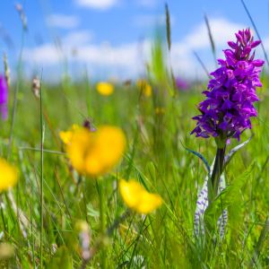
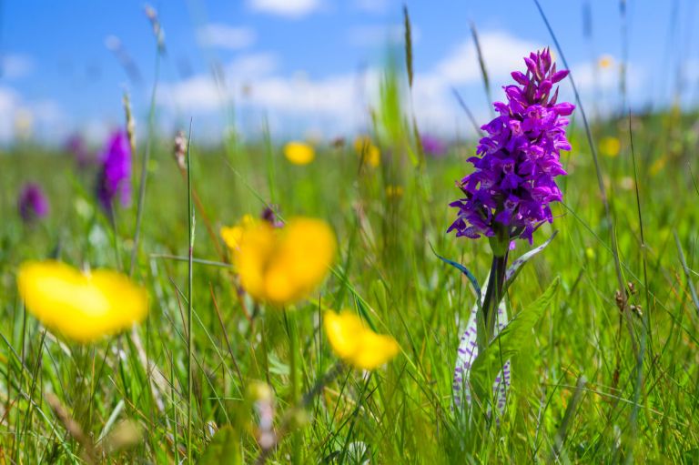
Orchid near Walsdorf-Zilsdorf. © Natur- und Geopark Vulkaneifel, Kappest
-
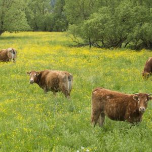
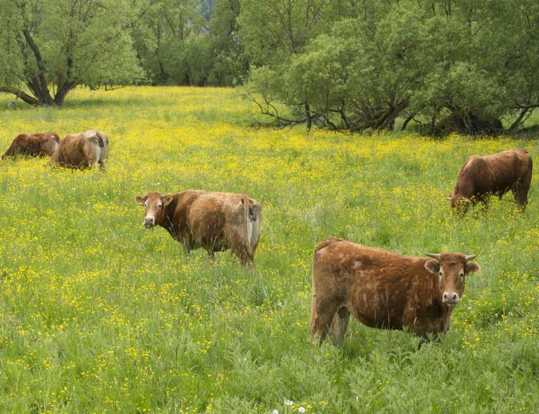
cattle grazing in the pasture
-
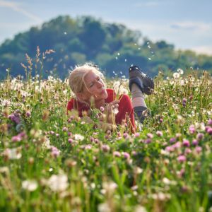
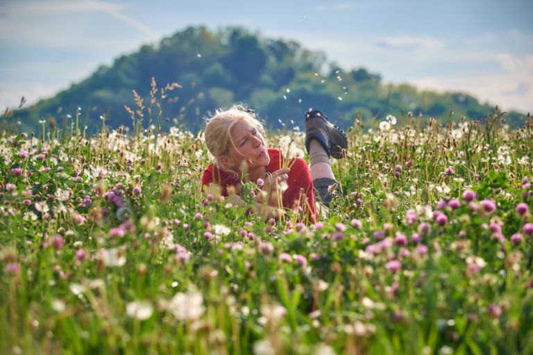
Meadow and volcanic cone in the background© Natur- und Geopark Vulkaneifel, Kappest
There are particularly many and varied meadows and pastures in the area around Walsdorf-Zilsdorf. Here the Middle Devonian Hillesheim limestone depression meets the volcanism of the New Era at an altitude of up to 600 meters above sea level. Due to a small-scale agricultural structure with numerous part-time farmers, there was no pressure towards intensification, and so the species-rich grassland communities were able to be preserved over a large area.
Rare beauties in swampy habitat
In wet to damp areas it is the forest rush swamps, marsh marigold meadows, meadowsweet meadows, pipe grass meadows and large sedge meadows that determine the picture. On fresh to alternately moist locations, the mountain oat meadows with wood cranesbill as a character species dominate, and in dry and shallow areas it is the golden oat meadows to limestone grasslands.
A special feature are the limestone swamps (Davallseggenriede), which are mainly distributed in Rhineland-Palatinate. On slopes, water-permeable, karstified limestone layers meet water-impermeable, clayey-marly layers, and the seepage water occurs in the contact zone, sometimes over a large area and all year round out of. The populations are characterized by many rare sedges and grasses, as well as species such as fever clover, cotton grass and broad-leaved orchid. They are often located in small areas within larger meadow complexes and are secured as nature reserves in Walsdorf-Zilsdorf.
Hiking trails
through the meadows and pastures near Walsdorf-Zilsdorf
-

Eifelsteig Etappe 09: Von Hillesheim bis Gerolstein
- Schwierigkeitsgrad:

- Strecke: 20,7 km -
- Dauer: 5:30 Std.
- Aufstieg: 444 hm -
- Abstieg: 512 hm
- Schwierigkeitsgrad:
-

HeimatSpuren Döhmbergweg
Rundweg nördlich von Betteldorf zu Füßen des Döhmbergs durch einen Buchenwald
- Schwierigkeitsgrad:

- Strecke: 5,3 km -
- Dauer: 1,5 Std.
- Aufstieg: 72 hm -
- Abstieg: 72 hm
- Schwierigkeitsgrad:
-

Wanderwege im Gerolsteiner Land Zähbasaltweg
Der Rundweg bietet herrliche Weitblicke über die Vulkaneifellandschaft. Ein besonderes Highlight ist die imposanten Mühlsteinhöhlen am Basaltberg.
- Schwierigkeitsgrad:
- Strecke: 7,1 km -
- Dauer: 2:25 Std.
- Aufstieg: 206 hm -
- Abstieg: 206 hm
- Schwierigkeitsgrad:
-

Wanderwege im Gerolsteiner Land Vulkanweg
Rundweg von Hillesheim über Walsdorf, Zilsdorf und zum Vulkan Arensberg
- Schwierigkeitsgrad:
- Strecke: 13,3 km -
- Dauer: 3:40 Std.
- Aufstieg: 178 hm -
- Abstieg: 178 hm
- Schwierigkeitsgrad: