
Forests characterize the Vulkaneifel. Around 45 percent of the area is covered with trees, and the forest types are just as diverse as the landscape.
Although almost all forests are used for forestry purposes, the large deciduous and mixed deciduous forests in particular are very close to nature. Storms and windthrows in recent decades have led to changes in forest management: deciduous forests were planted instead of coniferous forests on sites at risk of windthrow, and the shaded stream meadows were cleared of spruces.
-
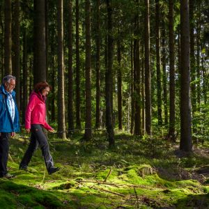
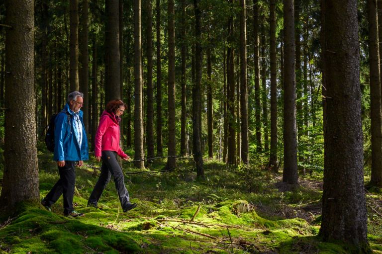
coniferous forest © Natur- und Geopark Vulkaneifel, Kappest
-
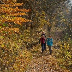
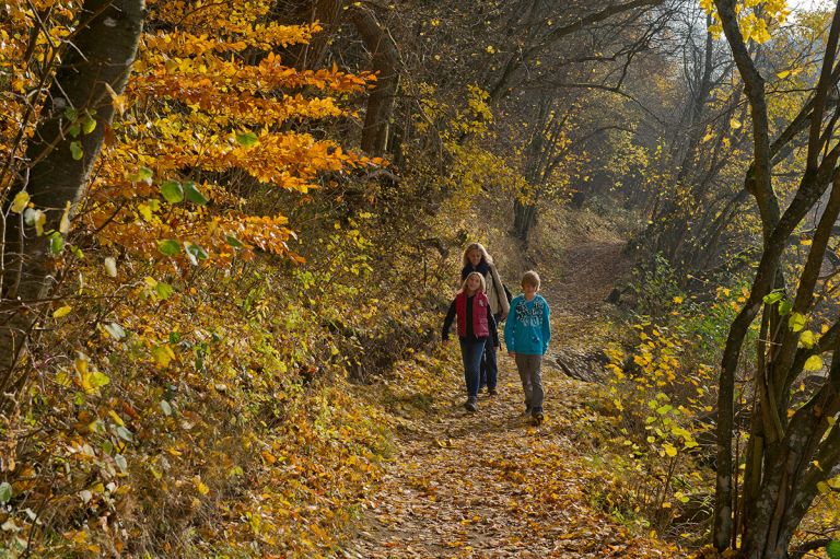
deciduous forest © Natur- und Geopark Vulkaneifel, Kappest
-
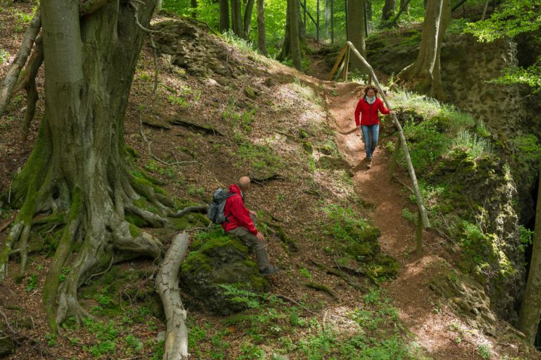
mighty beeches © Natur- und Geopark Vulkaneifel, Kappest
Depending on the location you will find:
- Beech forests
- Alder-ash floodplain forests
- Oak-hornbeam forests
- Rayon forests and moorland forests
Subsoil, nutrient and water supply decide which trees thrive best where. Without human intervention, the beech would be the dominant tree species, but beech forests also appear very differently depending on the subsoil. In spring, in volcanic and limestone areas, you can find numerous spring bloomers such as wood anemone, woodruff, primrose, uniberry, marsh cup and wild garlic, which grow and bloom in time before the gaps in the treetops close.
As the seasons change
The light of the Eifel forests begins with the May green. On hot summer days, however, the forests appear cool and shady. In October the foliage color fills the colors of autumn, and in winter the bare giant trees show their monumental size in the snow and hoarfrost.
The Salmwald - quiet center of the Vulkaneifel
The area between Gerolstein, Kirchweiler, Deudesfeld and Densborn is home to the largest contiguous forest area in the Vulkaneifel - the Salmwald. Around 6,000 hectares of forest are only broken up by small clearing islands such as Büscheich, Michelbach, Rom and Salm. The Salmwald is one of the core zones of the nature and geopark and is particularly suitable for quiet relaxation. The forest images here are particularly diverse, varying depending on the location on limestone, greywacke, red sandstone and volcanic rocks, from pure coniferous forests of spruce, Douglas fir and larch to mixed forests and old beech and oak forests.
Hiking trails
through the Salmwald
-

Wanderwege im Gerolsteiner Land Bertrada Tour
Rundweg über Birresborn, die Eis- und Mühlsteinhöhlen, zu Adam und Eva, nach Mürlenbach zur Bertrada Burg und zurück nach Birresborn
- Schwierigkeitsgrad:

- Strecke: 13,3 km -
- Dauer:4 Std.
- Aufstieg: 409 hm -
- Abstieg: 409 hm
- Schwierigkeitsgrad:
-

HeimatSpuren Mühlenweg Deudesfeld
Rundweg über Deudesfeld, Meisburg und Weidenbach
- Schwierigkeitsgrad:
- Strecke: 15,4 km -
- Dauer: 4,5 Std.
- Aufstieg: 292 hm -
- Abstieg: 292 hm
- Schwierigkeitsgrad:
-

Andere Vulkaneifelpfade Hinterbüsch-Pfad
Von Üdersdorf nach Meerfeld
- Schwierigkeitsgrad:

- Strecke: 34,1 km -
- Dauer: 11 Std.
- Aufstieg: 862 hm -
- Abstieg: 700 hm
- Schwierigkeitsgrad:
-

Excursion tips in the Salmwald