Maischer SourceSpring water from the mountain
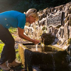
The Maischer source is a so-called layer source. Such spring outlets can be found wherever comparatively young volcanic loose deposits lie on the old rocks from the Devonian geological age.
Info
- Coordinates: 50°04.972’ N, 7°01.592’E
- Municipality/location: Kennfuss (at the refuge)
- Altitude: 369 m above sea level
- Water type: sodium magnesium hydrogen carbonate acidic acid
- Water temp.: 9.8 °C
-
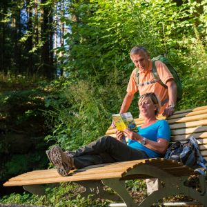
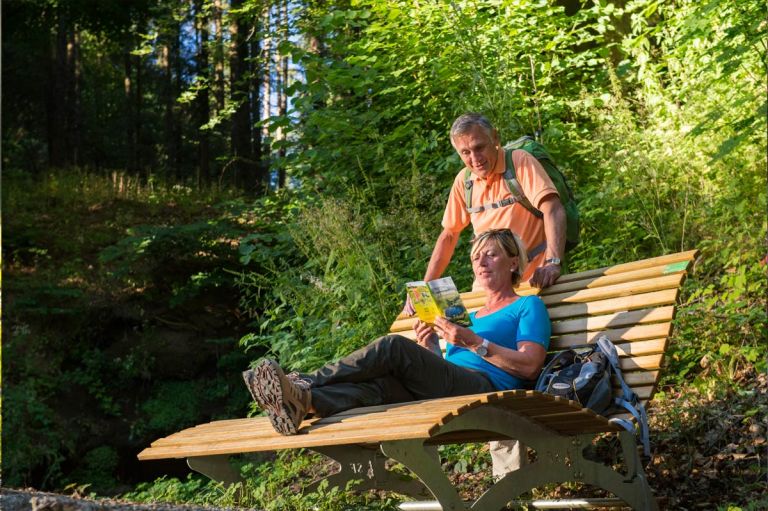
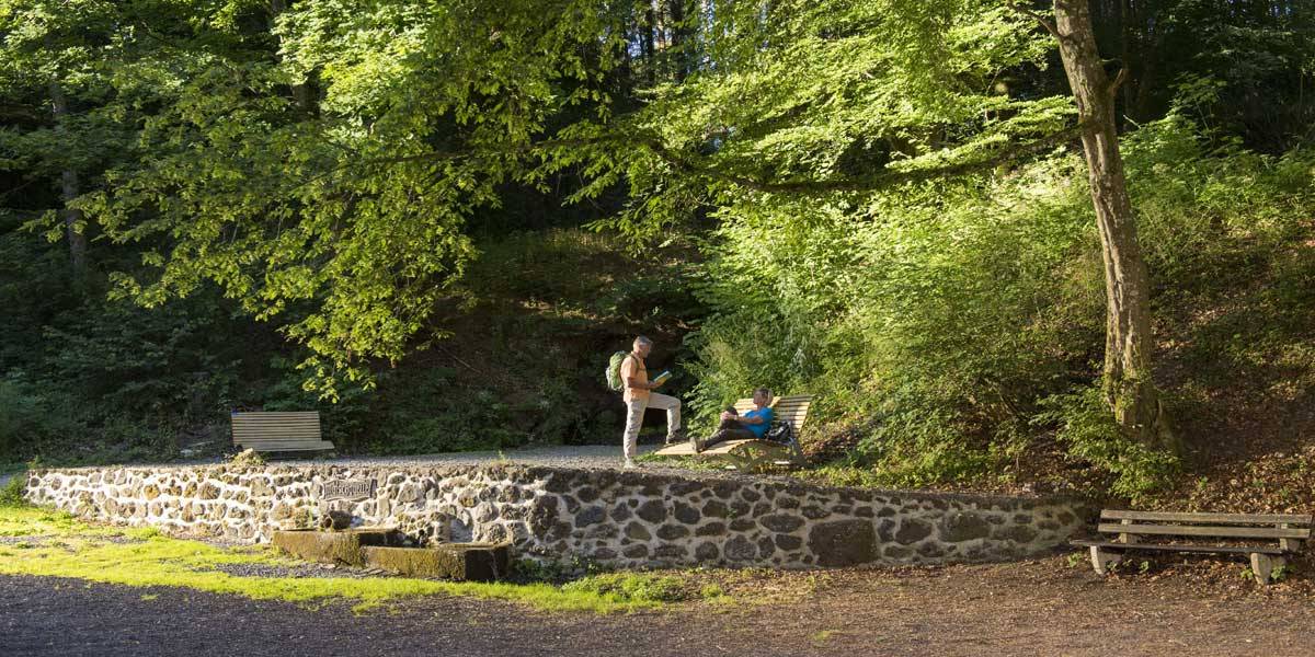
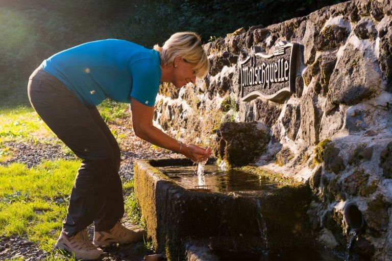
Entspannen an der Maischquelle © Natur- und Geopark Vulkaneifel GmbH, Kappest
-
Plateau Maischquelle © Natur- und Geopark Vulkaneifel GmbH, Kappest
The greywackes and slates that have been weathered into clay have water-retaining properties. These prevent the rainwater seeping into the porous volcanic deposits from further penetration and allow it to emerge again on the deposition surface. This process can be seen particularly well at the Maischer Source: at the transition from the dark volcanic deposits to the lighter rocks of the subsoil, the water drips out of the wall.
The water is filtered during infiltration. The thicker the volcanic deposits, the cleaner the spring water that emerges. Unfortunately, they are not powerful enough at the maisch source to meet current drinking water requirements.
Highlights nearby
- Mountain Source
- Falkenlay
- Klidinger Waterfall
- Cheese Grotto
- Landschaftstherapeutischer Park am Römerkessel Bad Bertrich
- Vulkaneifel Therme
Hiking trails
Several routes and paths lead hikers to the Maischer Source. Whether you choose the Bad Bertrich georoute or the Maare and thermal baths path - all routes have their charm.
-

-

HeimatSpuren Geo-Route
Rundweg zur feurigen Vergangenheit von Bad Bertrich. Vor 50.000 Jahren waren hier neun Vulkane aktiv
- Schwierigkeitsgrad:

- Strecke: 6,5 km -
- Dauer: 2 Std.
- Aufstieg: 219 hm -
- Abstieg: 219 hm
- Schwierigkeitsgrad:
Directions
B421 in Hohntheim turn onto the L104, in the valley take the L103 towards Kennfuss, there turn from the main road into Moselblickstraße, behind the town exit, park the car at a fork in the road with a hut in the middle and follow the right path on foot. If you have an off-road vehicle, continue to the refuge or follow the signs.