


Linden Source Good Born in Birresborn
The existence of the town of Birresborn was first documented historically in 721. The former name “Birgisburias” can be translated as “good spring” or “good source” and already indicates the area's wealth of springs. Numerous finds near the spring prove that the Romans already knew about the lime spring. Currently there is no spring water at Linden Source (June 2026).
Info
- Coordinates: 50.193, 6.63535
- Municipality/location: Birresborn
- Altitude: 343 m above sea level
- Water type: sodium-magnesium-bicarbonate-chloride-sourling
- Water temp: 9.8 °C
-

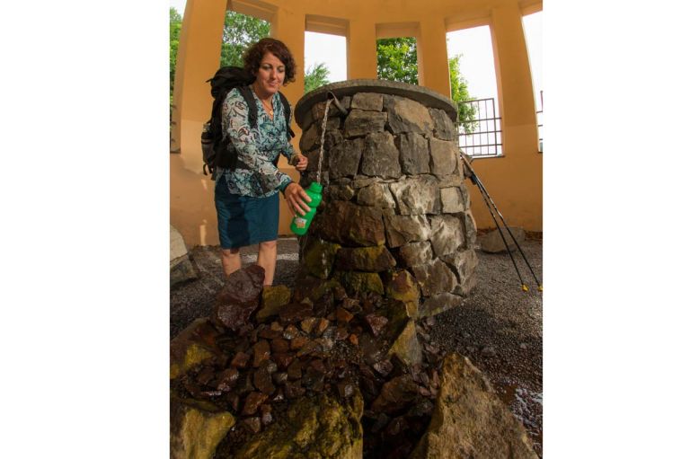
Lindenquelle im Pavillon © Natur- und Geopark Vulkaneifel GmbH, Kappest
-

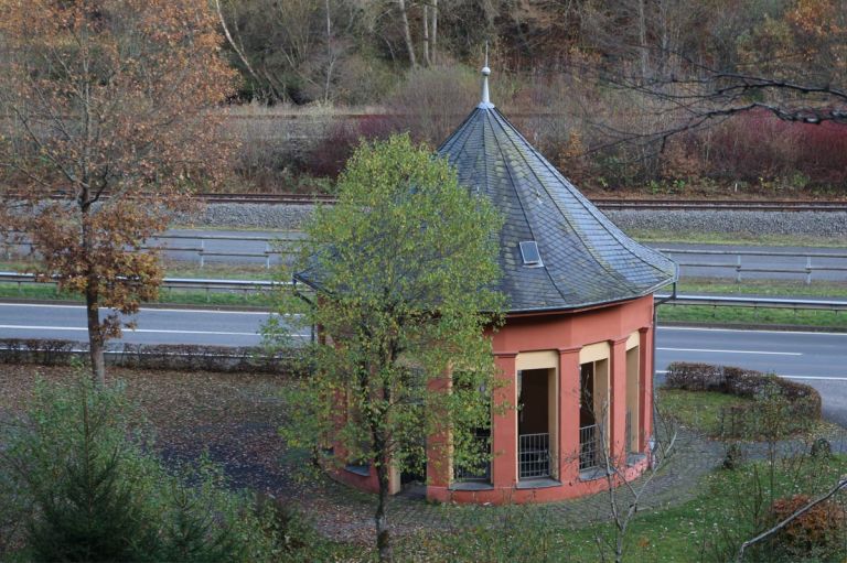
Pavillon Lindenquelle © Natur- und Geopark Vulkaneifel GmbH, A. Thewes
In 1748, the Elector of Trier Franz Georg Graf von Schonborn had the fountain surrounded with oak boards and stone. This meant that the source could be used commercially for the first time. Blasting work in the area around the spring led to it almost completely drying up in 1971. In 2009, both the spring area and the spring temple, which is a listed building, were restored. The mineral water bubbles again and can be drunk free of charge. The elaborately designed spring pavilion points to careful use of the precious commodity water and the need for its protection.
Highlights nearby
- Ice Caves Birresborn
- Natural History Museum Gerolstein
- Fischbach Drees Near Birresborn
- Gerolsteiner Dolomites With Munterley
Hiking and cycling trails
Find your most beautiful paths on the Eifel hiking and cycling routes. Varied, informative, relaxing - there is a path for every preference.


Guided tours
Directions
Coming from the B410, turn onto the L24 in Lissingen. The Linden source is about halfway to Birresborn on the right side.