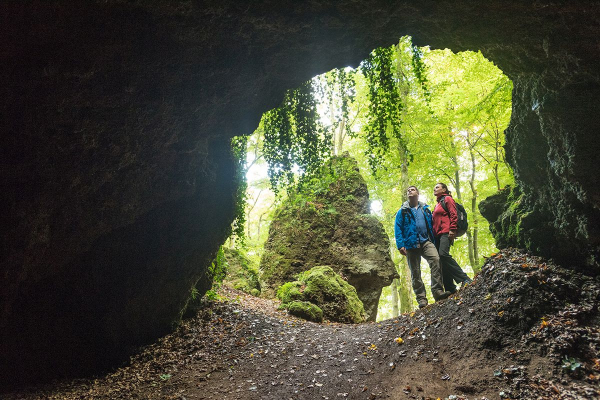
Fischbach Drees Near Birresborn
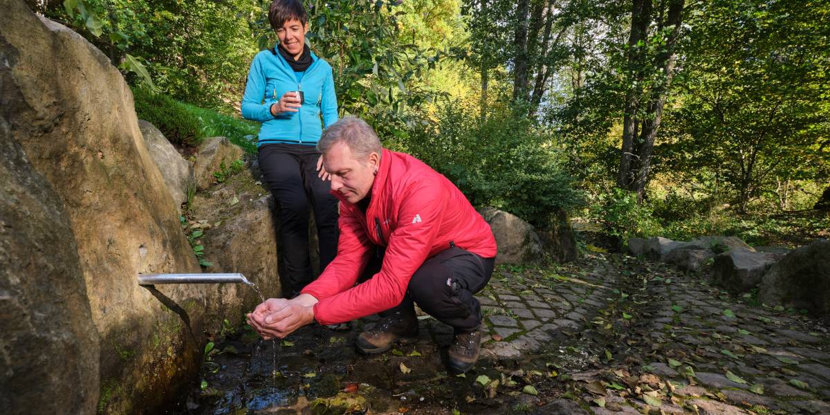
The Romans already knew and appreciated the fresh water of the Birresborner Dreese for its good taste and healing effects. Even the place name Birresborn (Latin: “Birgis burias”, in German: “good Born”) indicates a water place or fountain.
Info
- Coordinates: N 50° 10' 46.0092 E 6° 36' 46.7424
- Municipality/location: Birresborn
- Altitude: 364 m above sea level. NN
- Water type:
- Water temp:
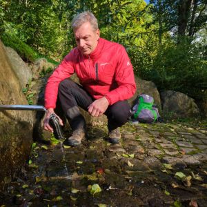
The magnesium-calcium mineralization here comes from sandstones and claystones as well as overlying volcanic rocks. The high carbon dioxide content comes from the Eifel volcanism and gives the water the name “Säuerling”. A total of five springs are known in Birresborn, several of which were of great economic importance. Today, drinking water can be taken from the Lindenquelle and the Fischbach-Drees.
Highlights nearby
- Ice Caves Birresborn
- Linden Source
- Natural History Museum Gerolstein
- Gerolsteiner Dolomites With Munterley
Hiking in the Vulkaneifel is always a pleasure. It's healthy, fun and educational. Embark on one of our hiking trails and you will experience what we mean by that.
Directions
From Gerolstein west to Lissingen on the B410, then in Lissingen left on the L24 towards Birresborn. Follow the road to Birresborn, in the village turn right onto Kopper Straße, L30. The Drees is on the left, opposite the parking lot behind the town exit.

