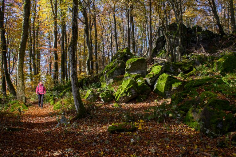
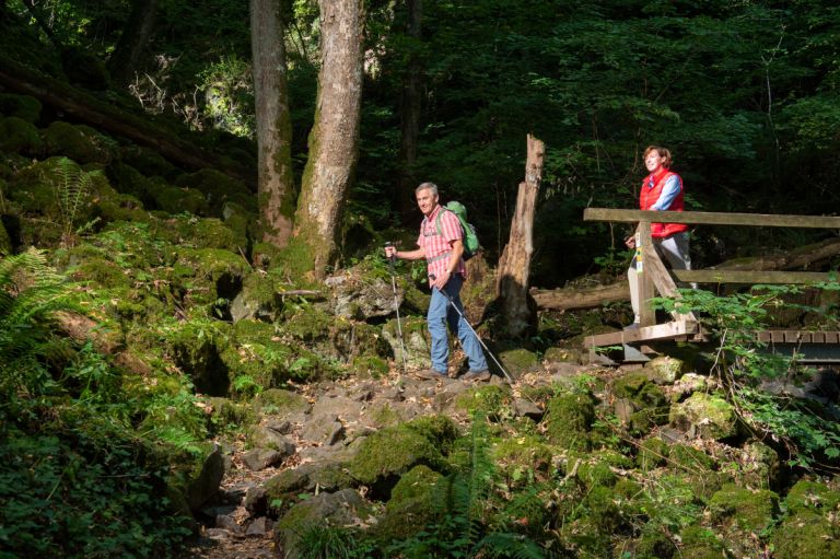
A special feature of the Vulkaneifel - due to their volcanic formation - are the so-called block screes on basalt rock. Over the millennia, the basalt has been eroded to blocks, forming such a scree.
What remained were the chimneys of the volcanoes, which were quite weather-resistant as hard basalts and today shape the landscape of the Vulkaneifel as volcanic peaks. Our Celtic and late Roman ancestors often used the exposed locations of the volcanic peaks as refuges. Using existing basalt blocks, they built fortified ring walls on the hilltops and took refuge there when their settlements were threatened by enemies. Remnants of such fortifications can be found on the Barsberg near Bongard, the Dietzenley near Gerolstein, the Hochkelberg and the Kastelberg between Horperath and Berenbach.
-
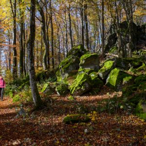
Boulder scree © Natur- und Geopark Vulkaneifel, Kappest
-
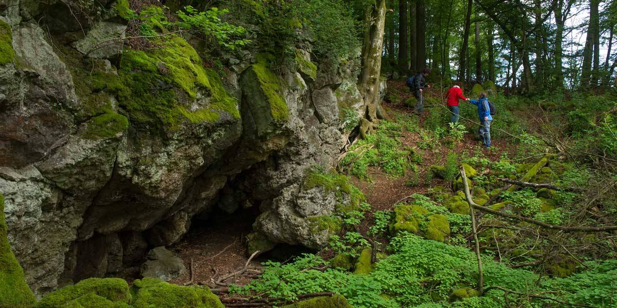
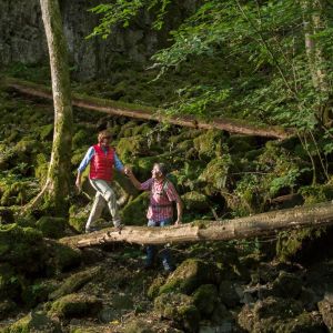
Boulder scree in the Horngraben near Bettenfeld © Natur- und Geopark Vulkaneifel, Kappest
-
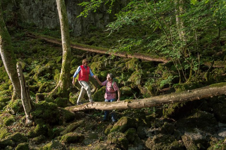
Boulder scree in the Horngraben near Bettenfeld © Natur- und Geopark Vulkaneifel, Kappest
“Battle zones” of the forest
A second possibility is large lava flows that poured from individual volcanic peaks into the adjacent valleys. If they were then gnawed by streams, bizarre rock formations often formed in the breakthrough valleys, such as those we find today in Strohner Schweiz, the Wolfsschlucht near Bettenfeld or the Hundsbachtal near Birresborn.
The rubble fields are naturally dominated by noble hardwoods such as sycamore maple, lime, ash, oak and elm, which survive in these “battle zones” of the forest and form species-rich forests. In several places it was too inhospitable even for these tree species and the basalt block screes remained completely treeless. In the herb layer, the moon violet can form interesting flowering aspects in some places.
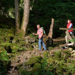
Hiking trails
through the rock scree in Horngraben near Bettenfeld
-

Andere Vulkaneifelpfade VulkaMaar-Pfad
Rundtour westlich von Manderscheid
- Schwierigkeitsgrad:

- Strecke: 27 km -
- Dauer: 8,5 Std.
- Aufstieg: 1022 hm -
- Abstieg: 1022 hm
- Schwierigkeitsgrad:
-

Andere Vulkaneifelpfade Manderscheider Burgenstieg
- Schwierigkeitsgrad:

- Strecke: 5,4 km -
- Dauer: 2,5 Std.
- Aufstieg: 342 hm -
- Abstieg: 325 hm
- Schwierigkeitsgrad:
-

HeimatSpuren Achtsamkeits-Pfad Kleine Kyll
Rundweg zum Entschleunigen entlang der Kleinen Kyll südlich von Manderscheid
- Schwierigkeitsgrad:

- Strecke: 5,7 km -
- Dauer: 2 Std.
- Aufstieg: 57 hm -
- Abstieg: 90 hm
- Schwierigkeitsgrad: