
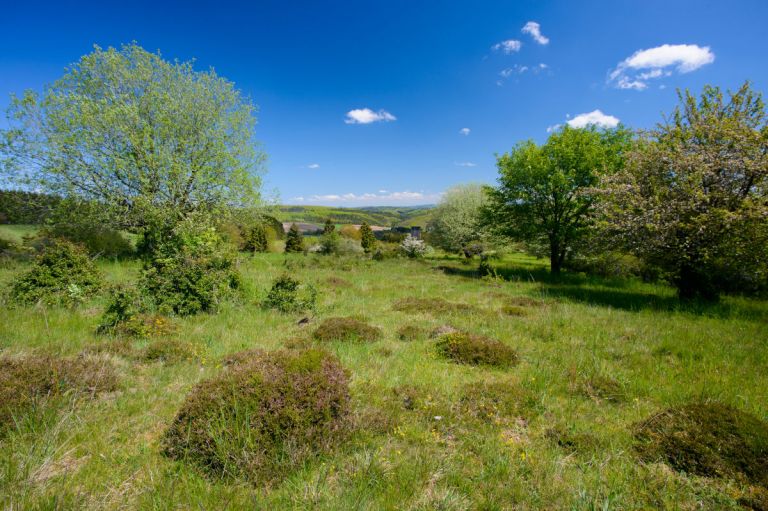
Such landscapes were typical of the Vulkaneifel until the 20th century. Entire areas of land such as the Struth between Daun and Kelberg, where acidic and nutrient-poor soils dominated, often only provided meager food in terms of quantity.
“The bitter Eifel wind blows freely over the bare plateau with its hungry gorse bushes and burnt heather” – this is how the writer Clara Viebig described the central volcanic Eifel in 1902.
What is glorified today as a romantic heathland landscape stood for the poverty of the residents and the devastation of the landscape in the 19th century. Heather, juniper and bristle grass withstood the voracious mouths of the grazing animals. However, this changed fundamentally with the introduction of artificial fertilizer and heath reforestation by the Prussians. Today, these landscape types are among the most endangered habitats in Rhineland-Palatinate.
-
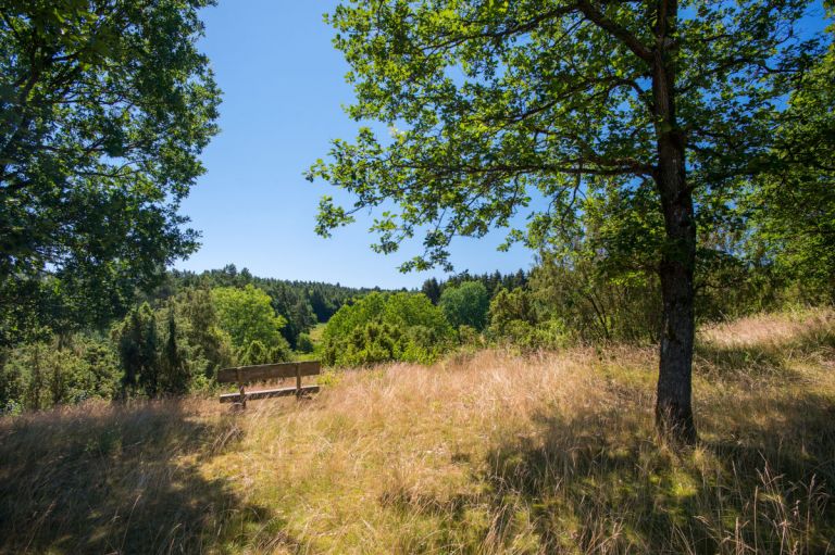
© Natur- und Geopark Vulkaneifel, Kappest
-
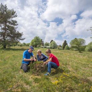
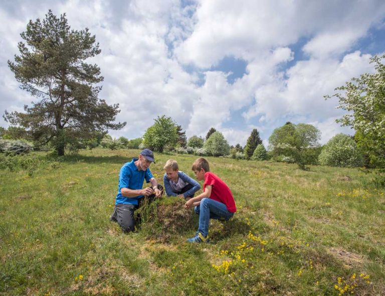
Kids are experiencing the heath and bristly grasslands © Natur- und Geopark Vulkaneifel, Kappest
-
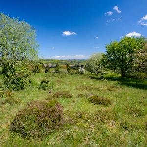
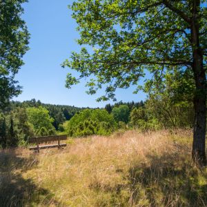
Oberehe Heath © Natur- und Geopark Vulkaneifel, Kappest
Nature reserves with rarity value
Botanical specialties such as arnica, devil's bite and wood louseweed can be found as well as great fritillary, red-backed shrike and wartbiter. In the Vulkaneifel, numerous larger and smaller remains of heather and bristly grass lawns have been preserved, such as in Dreis-Brück, Oberehe, Rengen, Retterath, Neroth, Bleckhausen, Demerath and Schüller. Today they are protected as nature reserves and are cared for as relics of historical land use.
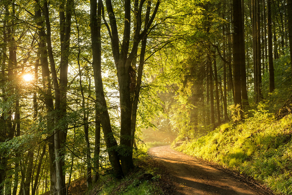
Hiking trails
through the heath and bristly grass landscapes of the Vulkaneifel
-

Wanderwege im Gerolsteiner Land Zähbasaltweg
Der Rundweg bietet herrliche Weitblicke über die Vulkaneifellandschaft. Ein besonderes Highlight ist die imposanten Mühlsteinhöhlen am Basaltberg.
- Schwierigkeitsgrad:

- Strecke: 7,1 km -
- Dauer: 2:25 Std.
- Aufstieg: 206 hm -
- Abstieg: 206 hm
- Schwierigkeitsgrad:
-

HeimatSpuren Wacholder-Kyll-Weg
Rundweg südlich von Bleckhausen, vorbei an der Wachholderheide zur Kleinen Kyll
- Schwierigkeitsgrad:
- Strecke: 12,4 km -
- Dauer: 4 Std.
- Aufstieg: 269 hm -
- Abstieg: 269 hm
- Schwierigkeitsgrad:
-
Andere Vulkaneifelpfade Vulkangipfel-Pfad
Rundtour um Daun
- Schwierigkeitsgrad:

- Strecke: 31,3 km -
- Dauer: 10 Std.
- Aufstieg: 692 hm -
- Abstieg: 678 hm
- Schwierigkeitsgrad:
-

HeimatSpuren Döhmbergweg
Rundweg nördlich von Betteldorf zu Füßen des Döhmbergs durch einen Buchenwald
- Schwierigkeitsgrad:

- Strecke: 5,3 km -
- Dauer: 1,5 Std.
- Aufstieg: 72 hm -
- Abstieg: 72 hm
- Schwierigkeitsgrad:
-

Wanderwege im Gerolsteiner Land Genuss zu Fuß
Rundweg mit kulturellen, natürlichen und kulinarischen Köstlichkeiten rund um Kerpen, Niederehe und Loogh
- Schwierigkeitsgrad:
- Strecke: 7,5 km -
- Dauer: 2:15 Std.
- Aufstieg: 238 hm -
- Abstieg: 238 hm
- Schwierigkeitsgrad:
-

Muße-Pfad Vulcano-Pfad
Rundtour östlich von Schalkenmehren
Blicke über den Gartenzaun ins Land der Maare und Määrchen. Verliere dich nicht im Detail, nimm Abstand, blicke über den Gartenzaun und sieh das Ganze!
- Schwierigkeitsgrad:
- Strecke: 26,2 km -
- Dauer: 16:42 Std.
- Aufstieg: 652 hm -
- Abstieg: 652 hm
- Schwierigkeitsgrad: