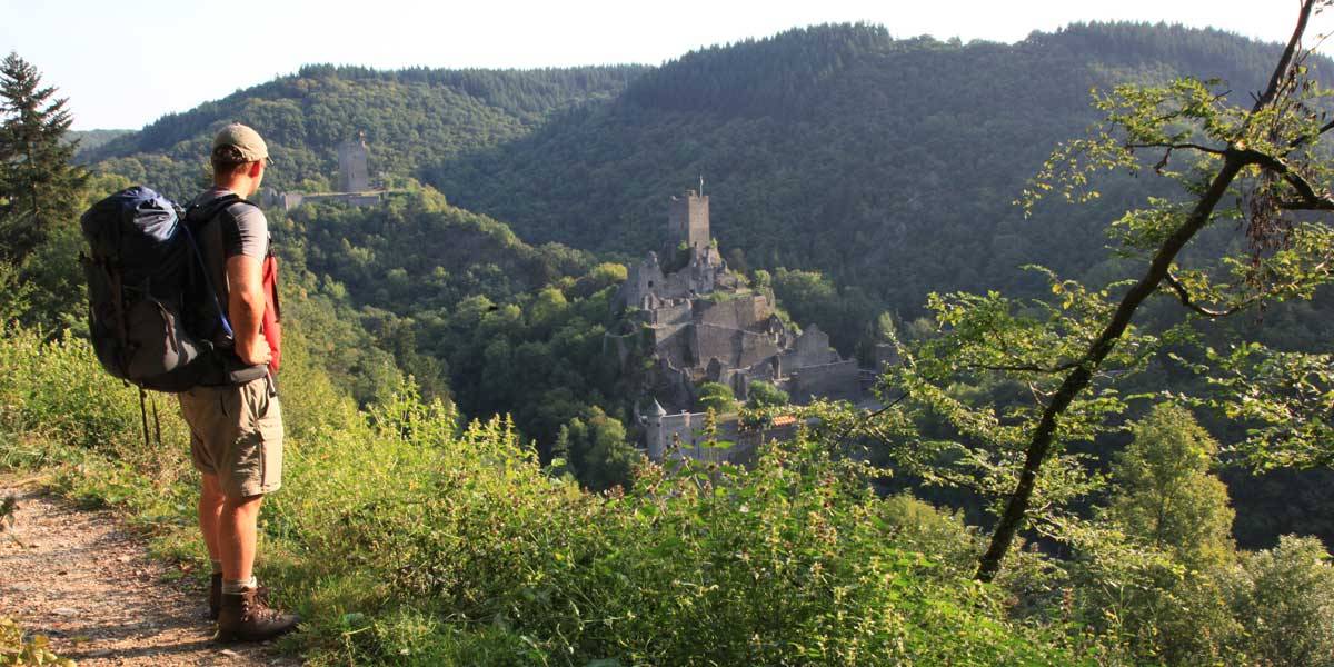
Away from car or train traffic, this valley section of the Liesertal presents itself as a deeply cut, narrow and undisturbed notched valley with numerous valley meanders.
Facts
- Size: 1346 hectares
- Area: Manderscheid
- Districts and independent cities: Bernkastel-Wittlich
- Associated municipalities and unaffiliated municipalities: Manderscheid, Wittlich, Wittlich-Land
Characteristic stream bank trees and moist tall herbaceous meadows line the natural stream of the Lieser and are only interrupted by extensively used, moist grassland in the wider parts of the valley floor. The steep slopes of the Liesertal are almost entirely forested.
Diverse forest landscapes in the Liesertal
The sparse, rocky dry forests of the sun-exposed valley slopes are contrasted by ravine forests with their typical abundance of ferns and mosses on the shady, rubble-rich slopes and in the narrow side valleys seeped by spring streams. The variety of tree trunks that can be observed are evidence of the traditional coppice management that prevailed in earlier times, which is now only practiced sporadically.
The Lieserpfad leads through the core zone of the nature park and is not considered one of the most beautiful hikes in the Eifel for nothing.
-
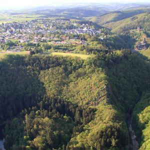
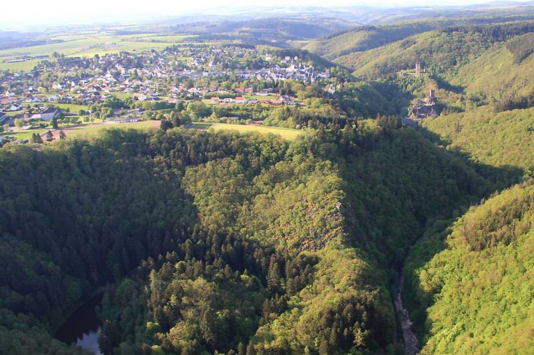
Liesertal
-
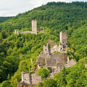
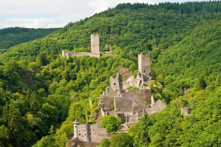
Manderscheider Burgen
Location:
Occident animal species
Sculpin, a small nocturnal fish