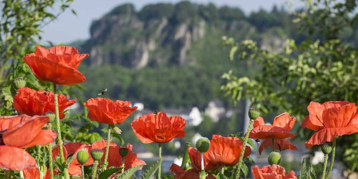
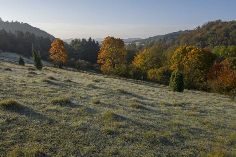
The Gerolsteiner Kalkeifel FFH area, located between the Eifel towns of Gerolstein in the north and Mürlenbach in the south, comprises a mosaic of a wide variety of habitats.
Facts
- Size: 8408 hectares
- Area: Gerolstein and Hillesheim
- Districts and independent cities: Vulkaneifel
- Associated municipalities and unaffiliated municipalities: Daun, Gerolstein, Hillesheim, Prüm
A typical part of the landscape of the Kalkeifel is the extensive and juniper-rich semi-dry grasslands on the valley slopes of the Gerolsteiner Kalkmulde, in the center of which rugged dolomite rocks rise into the sky.
Humans help nature
In combination with extensively used poor meadows, they form the characteristic biotopes of the old, agriculturally influenced cultural landscape. It was only thanks to traditional forms of use such as the extensive sheep grazing that has been practiced over centuries that forms such as the flower-rich gentian-schiller grass lawn were able to develop. Without human activity, this diverse cultural landscape would develop into a purely forest landscape and lose its diversity.
Through nature conservation measures such as the continuation or reintroduction of traditional forms of grazing, it has been possible to preserve this habitat, which is vital for the survival of many rare species of fritillary and fritillary butterflies, bluebirds and rams. The spectrum of habitat types in this FFH area is completed by the deciduous forest area of the Kyllburger Waldeifel located southeast of the Gerolsteiner Kalkmulde.
-
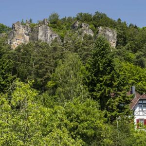
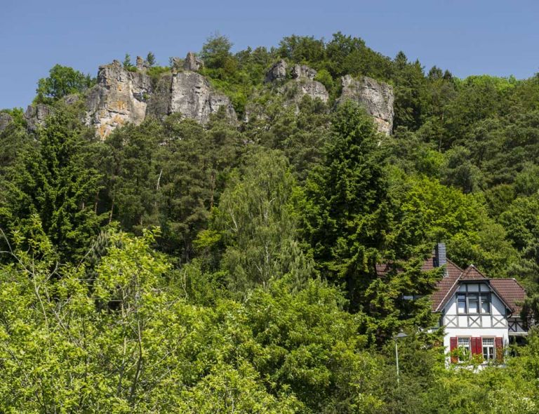
Gerolsteiner Dolomiten
-
Kalkmagerrasen
-
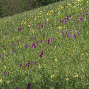
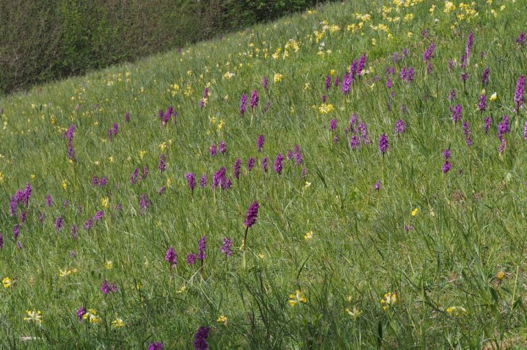
Kalkeifel mit Orchideen © Alfred Graff
Location:
Occident animal species
- Brook lamprey
- bullhead
- Bat
- Blood Bear
Occident plant species
- Juniper
- Orchids
- Character plants of limestone grassland
- Bärwurz
- Hainsimsen-Beech Forest
- Woodruff beech forest
- Orchid-limestone-beech forest