Numerous streams drain the Vulkaneifel from north to south in parallel valleys towards the Moselle. The valleys of the Kyll, Salm, Kleine Kyll, Lieser, Alfbach and Uessbach alternate here.
The watershed runs along the Wiesbaum-Walsdorf-Dockweiler-Boxberg-Köttelbach line. Streams flowing north of it such as the Ahbach, the Trierbach and the Nohnerbach drain into the Ahr.
Sufficient rainfall and extensive spring areas ensure appropriate water supply. Most streams react quickly to rain events, which has to do with the low water infiltration in the Lower Devonian bedrock. This can cause short-term flooding events and, in dry periods, can even lead to upper reaches drying out.
-

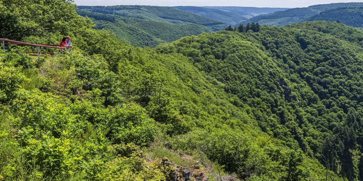
Hikers at a broad stream valley © Natur- und Geopark Vulkaneifel, Kappest
-
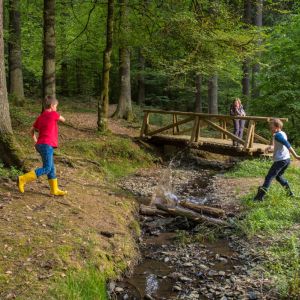
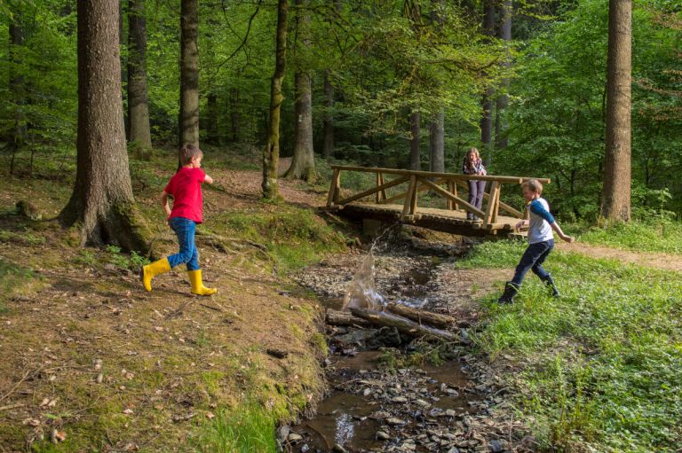
Kids playing at a stream © Natur- und Geopark Vulkaneifel, Kappest
-
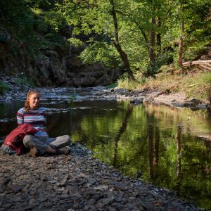
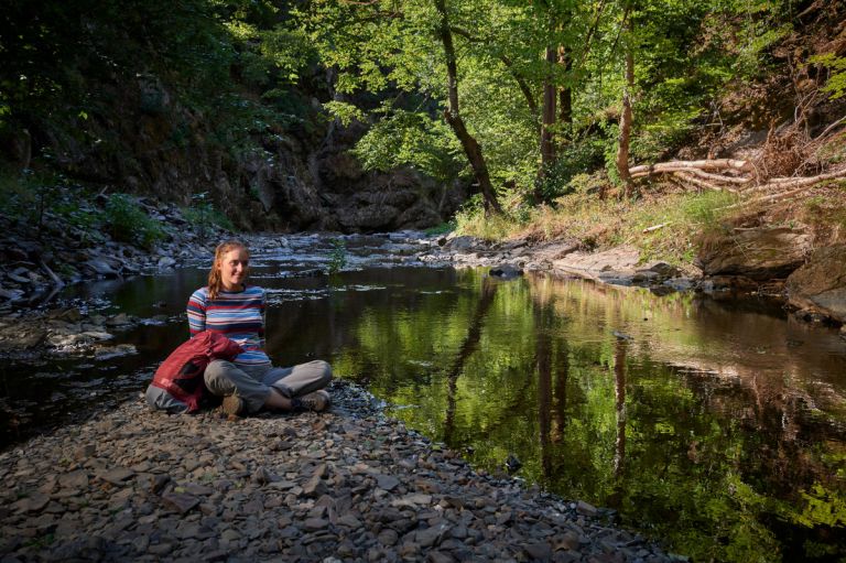
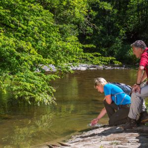
The river Lieser close to Manderscheid © Natur- und Geopark Vulkaneifel, Kappest
In their natural state, streams are characterized by a high degree of structural diversity. Depending on the terrain, source rock, soil, flow speed and water flow, fast and slow flowing areas, impact and sliding slopes, bank breaks, scour, washed-out embankments and other structural elements can occur in the course of the stream.
Diversity of flora and fauna
River waters are important regional networking elements in the biotope network. Gallery-like alder and willow edges, tall herbaceous meadows, butterbur stands and floodplain meadows accompany many streams in their natural course. Typical fish species such as brown trout and grayling are popular with anglers. Specialists such as dippers, kingfishers and demoiselles depend on clean and well-structured streams.
Hiking trails
through the stream valleys of the Vulkaneifel
-

-

HeimatSpuren Erlebnisweg Ritter-Räuber-Römer
Rundweg nördlich von Bad Bertrich mit spannenden Geschichten aus dem wilden Ueßbachtal
- Schwierigkeitsgrad:

- Strecke: 6,3 km -
- Dauer: 2 Std.
- Aufstieg: 66 hm -
- Abstieg: 66 hm
- Schwierigkeitsgrad:
-

HeimatSpuren Mühlenweg Strotzbüsch
Rundweg um Strotzbüsch und Mückeln, über die Strotzbüscher Mühle, das Immerather Maar, die Schutzalf und die Oberscheidweiler Mühle
- Schwierigkeitsgrad:
- Strecke: 22,1 km -
- Dauer: 6,5 Std.
- Aufstieg: 385 hm -
- Abstieg: 385 hm
- Schwierigkeitsgrad:
-

HeimatSpuren Zwei-Täler-Weg
Rundweg durch die zwei idylischen Täler Erdenbach und Litzbach rund um die Orte Lutzerath und Driesch
- Schwierigkeitsgrad:
- Strecke: 14 km -
- Dauer: 4 Std.
- Aufstieg: 218 hm -
- Abstieg: 218 hm
- Schwierigkeitsgrad:
Excursion tips through the stream valleys of the Vulkaneifel
- Durch das romantische Liesertal zum 50. Breitengrad – eine Erlebniswanderung von den Eifelhöhen hinab ins Wittlicher Tal
- Unterwegs auf dem Heimatspur-Wanderweg „Ritter, Räuber, Römer“
- Bacherlebnis für Kinder: „Wir steigen in das Eifel-Wasser, um es zu verstehen“
- Geografie, Geschichte und Erdgeschichte entdecken und erleben – Expedition ins Ueßbachtal