Virtual tour, you can move through the image with the mouse.
Source At The LaubachshofLittle water, lots of minerals
The Source At The Laubachshof is the most heavily mineralized source in the Hillesheim area. Only a few sources in the Dreiser Weiher further south are even more highly mineralized.
Info
- Coordinates: 50°16.612’N, 6°45.860’E
- Municipality/location: Oberehe-Stroheich
- Altitude: 479 m above sea level
- Water type: iron-containing magnesium-calcium-bicarbonate water
- Water temp: 7.0 °C to 11.5 °C
-
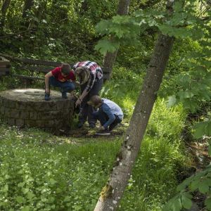
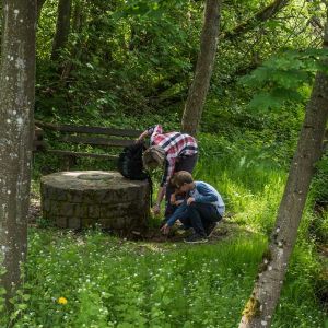
Kinder an der Quelle Laubachshof Quelle am Laubachshof © Natur- und Geopark Vulkaneifel GmbH, Kappest
-
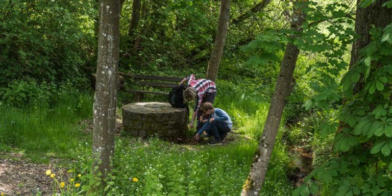
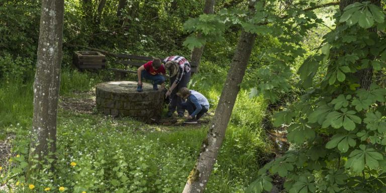
Quelle Laubachshof Quelle am Laubachshof © Natur- und Geopark Vulkaneifel GmbH, Kappest
The water flow in this source is relatively low, so prolonged drought is its enemy and can cause it to dry up temporarily. In addition to the amount of water poured, the water temperature of the spring also varies greatly depending on the season and weather conditions.
Highlights nearby
- Dockweiler Drees
- Mühlstein Caves Hohenfels-Essingen
- Mühlstein Cave Rother Kopf
- Vulkania Healing Source
- Altstraßbach Source
- Arensberg
Hiking trails
Hiking tours and routes for walkers can be found here by Eifel lovers of all levels of difficulty and length. Many exciting hiking trails encourage you to come back.
Guided tours
Directions
A1 exit Gerolstein, turn from the B410 onto the L67 to Dreis-Brück, in Dreis-Brück change onto the B421 to Oberehe-Stroheich, park on the left side behind the town exit, walk along the stream to the source .