Virtual tour - you can navigate through the image using your mouse.
Hetsche Maar The Smallest Maar in the Eifel Region
Together with Holzmaar and Dürres Maar, Hetsche Maar is part of the Holzmaar group and is the oldest volcanic vent in this network. Hetsche Maar is also the smallest of all maars in the Eifel region.
It is believed that the maar was formed by one or two eruptions. Volcanic ejecta from Dürres Maar can be found in the crater. Today, it has become a swampy sedge fen.
Information & Audio
- Coordinates: 50°07´98´´N /06°52´16´´ E
- Altitude: 459 m above sea level
- Age of the Holzmaar group: approximately 40,000 – 70,000 years
- Crater diameter: 57 m N-E, 28 m NW-SE
- Crater depth: approximately 5 m
-
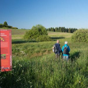
Blick auf Infotafel und Hetsche Maar © Natur- und Geopark Vulkaneifel GmbH, Kappest
-
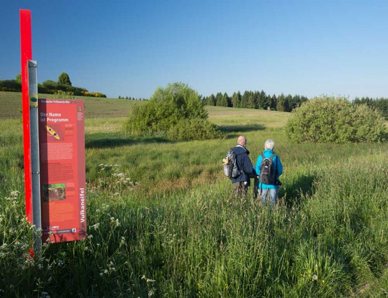
Infos zum Hetsche Maar © Natur- und Geopark Vulkaneifel GmbH, Kappest
Geology
The basement here consists of Lower Devonian clays, siltstones, and sandstones of the Eckfeld layers, which are partially covered by the maar tuffs.
Noteworthy
Hetsche Maar is located approximately 100 meters northwest of Dürres Maar and north of the Sammetbach in a small, dry side valley. Its immediate surroundings are relatively flat. It can still be recognized as an almost round depression covered with sedges and grasses between the fields. Due to its small size, the filling and subsequent drying out of Hetsche Maar occurred relatively quickly. Hetsche is, by the way, the Gillenfeld dialect expression for a toad - a reference to one of the residents of the maar.
Location
Hetsche Maar is located about 200 meters northwest of Dürres Maar. It is deeply embedded in the surrounding fields but can be seen from County Road 18 (Brockscheid-Gillenfeld).
Highlights Nearby
- Dürres Maar
- Holzmaar
- Volcano House Strohn
- Lavabombe Strohn
- Pulvermaar
- Sangweiher
Hiking Trails
around Hetsche Maar
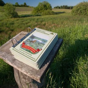
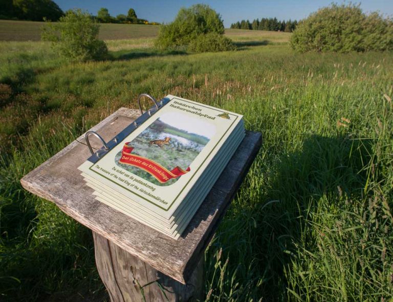
Hiking around Hetsche Maar also takes you near Dürres Maar and Holzmaar. The signposted Määrchen-Naturwaldpfad (Fairy Tale Nature Trail) connects the three maars. Hikers have a choice of different paths and routes.
-

HeimatSpuren Lavaweg Strohn
Diese Wanderung ermöglicht es sich mit dem Vulkanismus zu beschäftigen. Vorbei geht es am Trautzberger Maar und der Strohner Schweiz
- Schwierigkeitsgrad:

- Strecke: 20,5 km -
- Dauer: 5,5 Std.
- Aufstieg: 293 hm -
- Abstieg: 293 hm
- Schwierigkeitsgrad:
-

Andere Vulkaneifelpfade Maare-Pfad
Von Schalkenmehren bis Lutzerath
- Schwierigkeitsgrad:

- Strecke: 34,7 km -
- Dauer: 12 Std.
- Aufstieg: 657 hm -
- Abstieg: 672 hm
- Schwierigkeitsgrad:
Guided Tours around the Maar
Directions & Parking
Hetsche Maar is located between Gillenfeld and Eckfeld to the west of County Road 17. There is a hiking parking lot on County Road 17.